BWCA 2009
Mountain
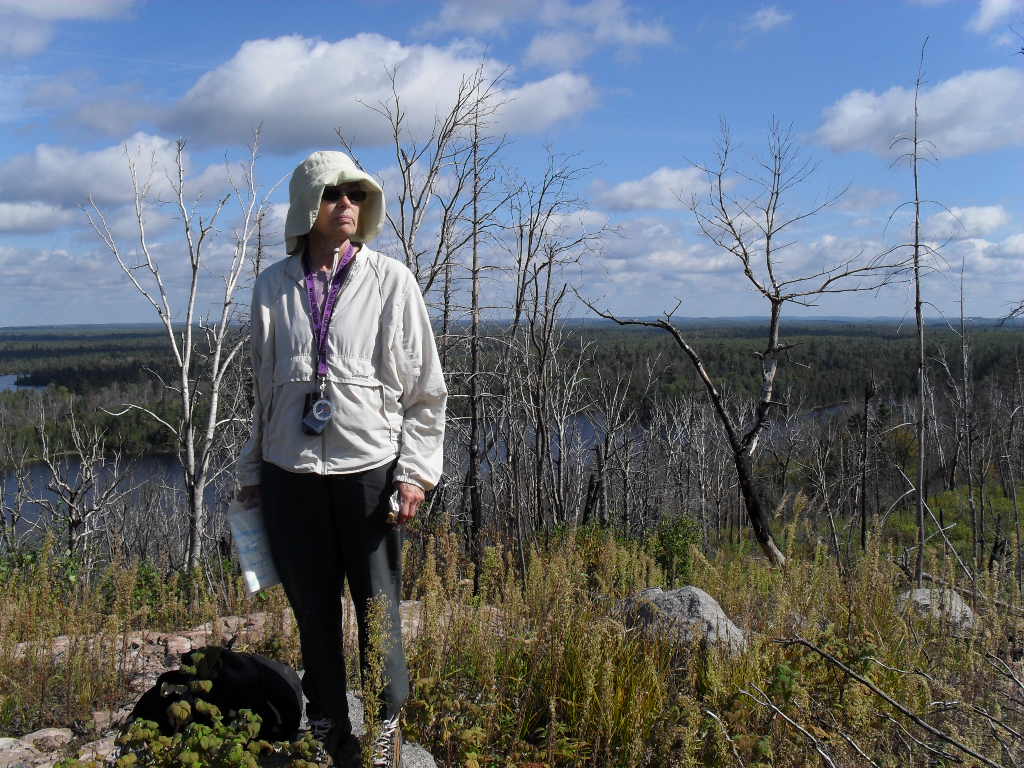
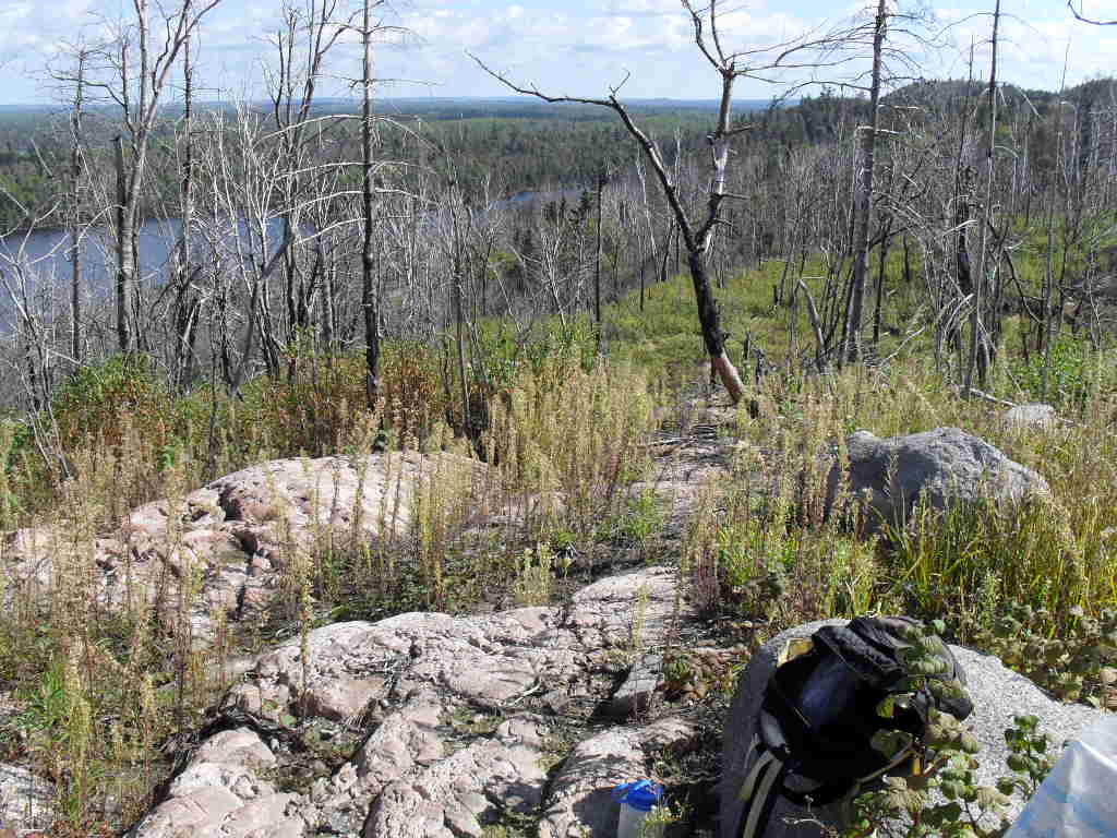
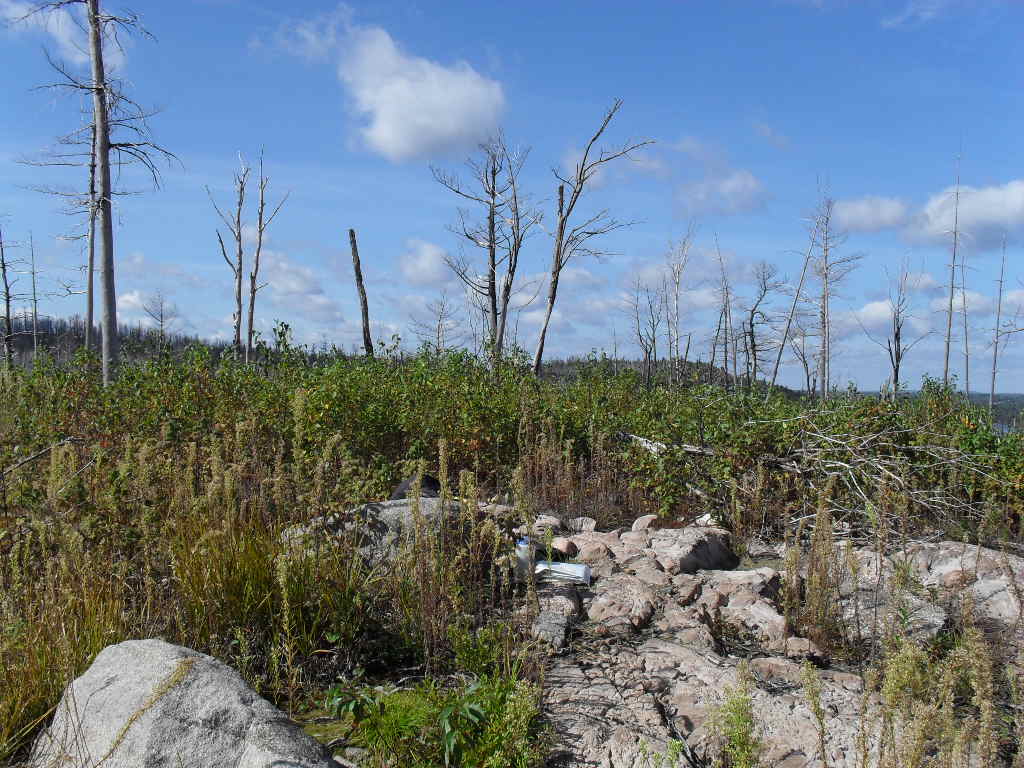
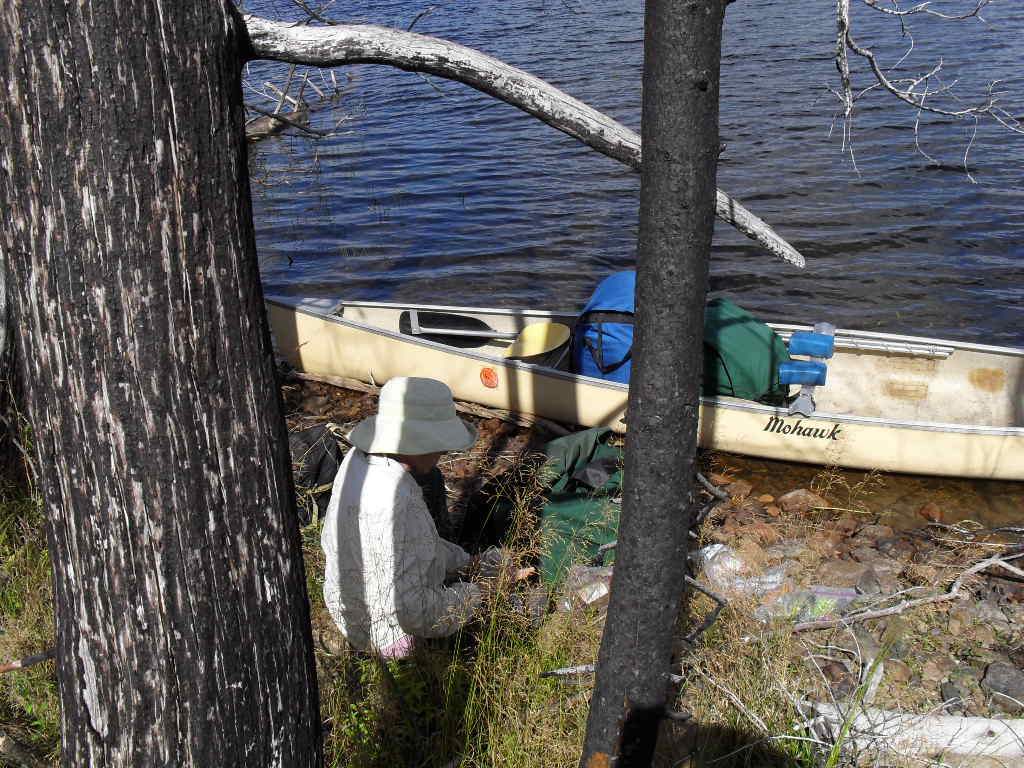
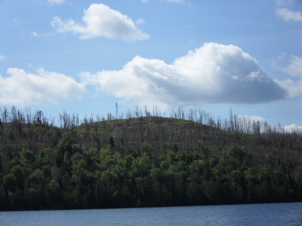
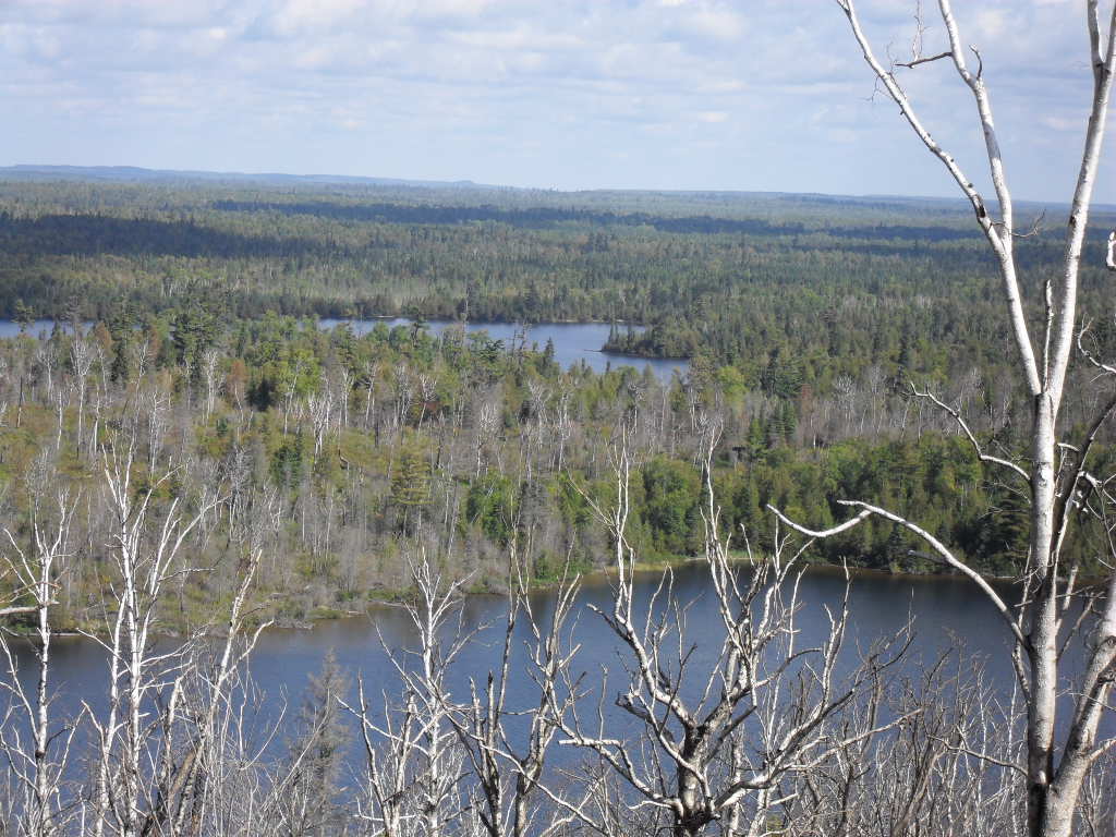
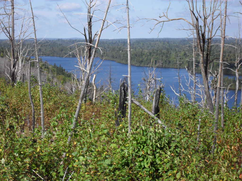
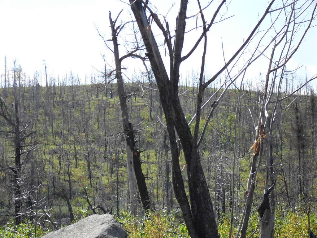
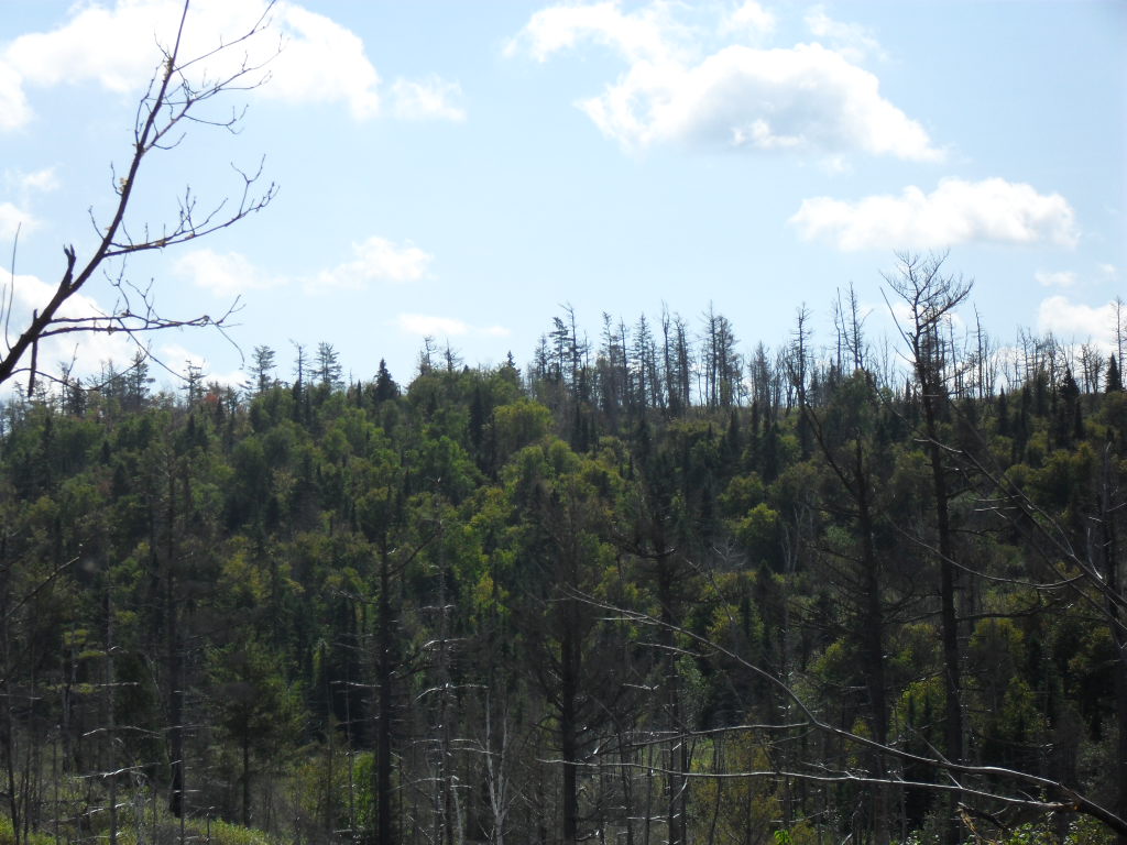
As we were traveling East on Lake Winchell, there was a mountain top on the Southeast corner of the lake (N47.99057 W90.55259) that was very odd looking in that there were apparently no trees on it. We continued to watch it as we approached it and decided to climb to the top to see what we could see. It was only about 300 feet above the elevation of the lake but it was very rough going as the mountain had been exposed to fire which left a tangled mess of wind fall and cover growth to navigate through. The first picture is a distance view of the summit. The second picture is looking North past Winchell to Gaskin Lake which was our next destination. We stopped for lunch at the lake shore when we got down. Use your browsers "Back Button" to return to the thumbnails or click back again to return to the text.